
Brittany Farms-Highlands 🇺🇸
-
Nautical Twilight begins:05:00 amSunrise:06:04 am
-
Sunset:07:52 pmNautical Twilight ends:08:57 pm
-
Moonrise:-
-
Moonset:07:58 am
-
Moon over:03:44 am
-
Moon under:04:04 pm
-
Visibility:87%
-
 Waning Gibbous
-
Distance to earth:384,496 kmProximity:49.8 %
Moon Phases for Brittany Farms-Highlands
-
average Day
-
major Time:02:44 am - 04:44 am
-
minor Time:06:58 am - 08:58 am
-
major Time:03:04 pm - 05:04 pm
-
minor Time:11:10 pm - 01:10 am
Tide Clock
Tide Graph
Times
| Tide | Time | Height |
|---|---|---|
| low | 12:14 am | 0.95 ft |
| high | 05:13 am | 7.55 ft |
| low | 01:02 pm | 0.59 ft |
| high | 05:49 pm | 6.07 ft |
| Date | Major Bite Times | Minor Bite Times | Sun | Moon | Moonphase | Tide Times |
|---|---|---|---|---|---|---|
|
Sat, 27 Apr
|
02:44 am -
04:44 am
03:04 pm -
05:04 pm
|
06:58 am -
08:58 am
11:10 pm -
01:10 am
|
R: 06:04 am S: 07:52 pm |
R: - S: 07:58 am |
Waning Gibbous |
low: 12:14 am
, 0.95 ft
high: 05:13 am
, 7.55 ft
, Coeff: 110
low: 01:02 pm
, 0.59 ft
high: 05:49 pm
, 6.07 ft
, Coeff: 73
|
|
Sun, 28 Apr
|
03:30 am -
05:30 am
03:59 pm -
05:59 pm
|
07:50 am -
09:50 am
11:10 pm -
01:10 am
|
R: 06:03 am S: 07:53 pm |
R: 12:10 am S: 08:50 am |
Waning Gibbous |
low: 12:56 am
, 0.89 ft
high: 05:48 am
, 7.48 ft
, Coeff: 108
low: 01:48 pm
, 0.66 ft
high: 06:30 pm
, 5.97 ft
, Coeff: 70
|
|
Mon, 29 Apr
|
04:30 am -
06:30 am
04:54 pm -
06:54 pm
|
12:08 am -
02:08 am
08:53 am -
10:53 am
|
R: 06:02 am S: 07:54 pm |
R: 01:08 am S: 09:53 am |
Waning Gibbous |
low: 01:41 am
, 0.89 ft
high: 06:33 am
, 7.41 ft
, Coeff: 107
low: 02:37 pm
, 0.75 ft
high: 07:22 pm
, 5.94 ft
, Coeff: 70
|
|
Tue, 30 Apr
|
05:29 am -
07:29 am
05:49 pm -
07:49 pm
|
12:56 am -
02:56 am
10:03 am -
12:03 pm
|
R: 06:00 am S: 07:55 pm |
R: 01:56 am S: 11:03 am |
Third Quarter Moon |
low: 02:33 am
, 0.92 ft
high: 07:29 am
, 7.32 ft
, Coeff: 104
low: 03:29 pm
, 0.85 ft
high: 08:25 pm
, 6.07 ft
, Coeff: 73
|
|
Wed, 01 May
|
06:26 am -
08:26 am
06:43 pm -
08:43 pm
|
01:36 am -
03:36 am
11:17 am -
01:17 pm
|
R: 05:59 am S: 07:57 pm |
R: 02:36 am S: 12:17 pm |
Third Quarter Moon |
low: 03:32 am
, 1.02 ft
high: 08:38 am
, 7.28 ft
, Coeff: 103
low: 04:24 pm
, 0.95 ft
high: 09:31 pm
, 6.4 ft
, Coeff: 81
|
|
Thu, 02 May
|
07:21 am -
09:21 am
07:35 pm -
09:35 pm
|
02:09 am -
04:09 am
12:33 pm -
02:33 pm
|
R: 05:58 am S: 07:58 pm |
R: 03:09 am S: 01:33 pm |
Third Quarter Moon |
low: 04:35 am
, 1.08 ft
high: 09:48 am
, 7.38 ft
, Coeff: 106
low: 05:21 pm
, 0.95 ft
high: 10:35 pm
, 6.89 ft
, Coeff: 94
|
|
Fri, 03 May
|
08:12 am -
10:12 am
08:25 pm -
10:25 pm
|
02:37 am -
04:37 am
01:48 pm -
03:48 pm
|
R: 05:57 am S: 07:59 pm |
R: 03:37 am S: 02:48 pm |
Waning Crescent |
low: 05:39 am
, 1.12 ft
high: 10:53 am
, 7.55 ft
, Coeff: 110
low: 06:18 pm
, 0.89 ft
high: 11:35 pm
, 7.48 ft
, Coeff: 108
|


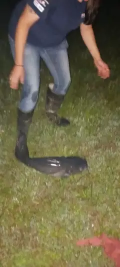
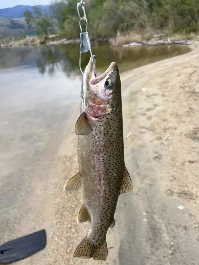
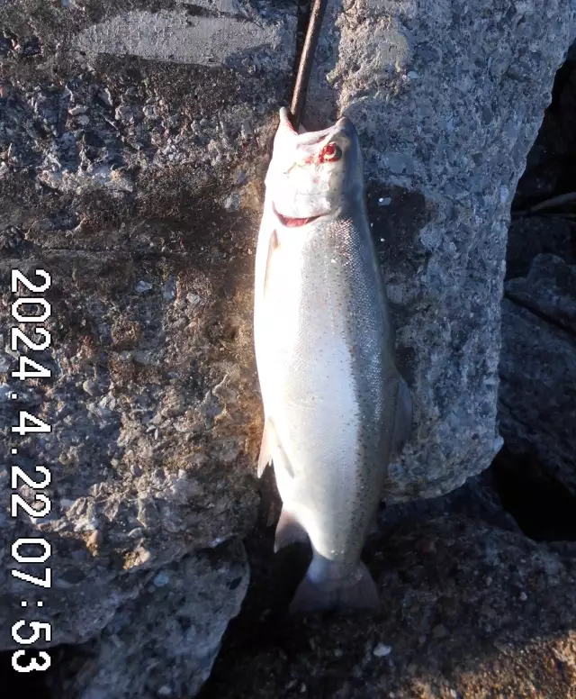
uploaded by: Chadderikk

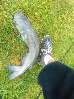
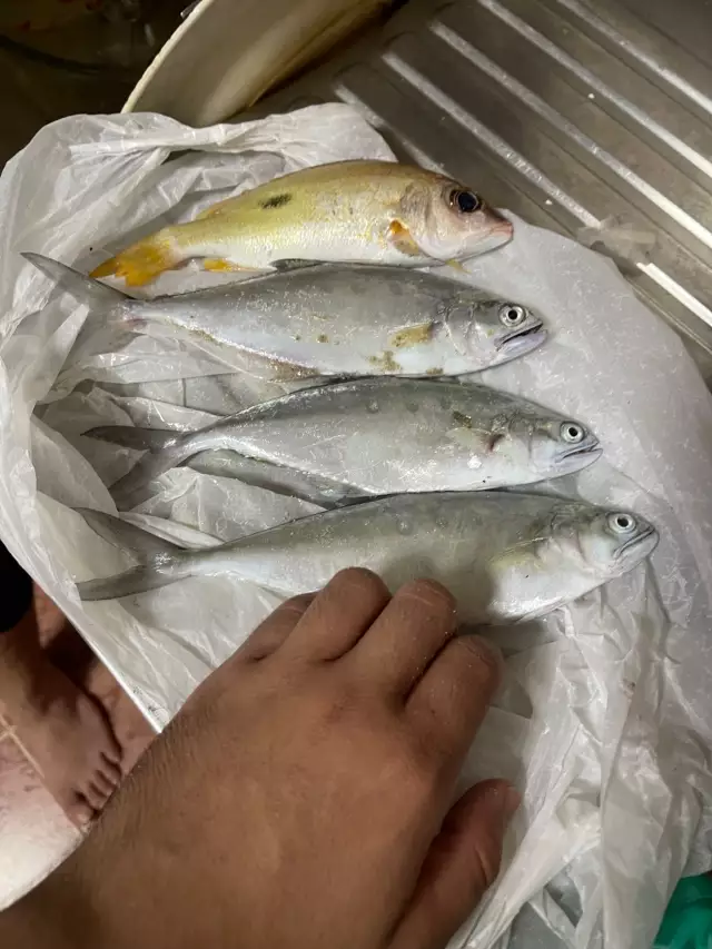
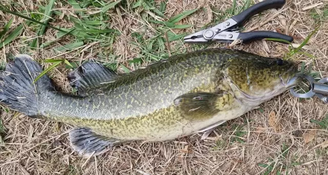
uploaded by: Mike Brooks (Savage)
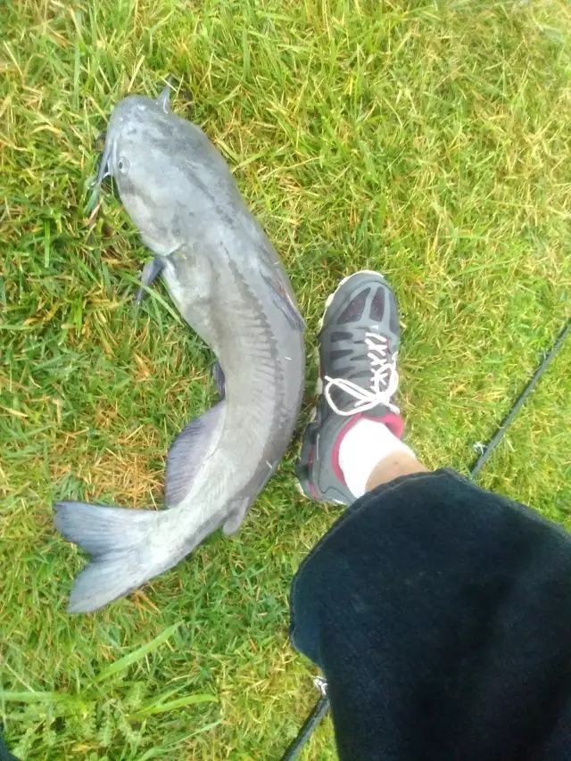
uploaded by: Mike Brooks (Savage)

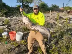
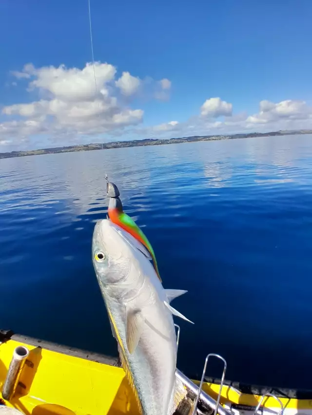
uploaded by: Terry Foster
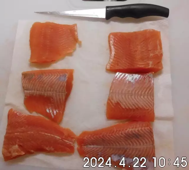
uploaded by: Doug Parr
uploaded by: Ahmed Elbasha
uploaded by: Hoza
uploaded by: PT Edward fisher
uploaded by: PT Edward fisher
uploaded by: This_Big110
Best Fishing Spots in the greater Brittany Farms-Highlands area
Beaches and Bays are ideal places for land-based fishing. If the beach is shallow and the water is clear then twilight times are usually the best times, especially when they coincide with a major or minor fishing time. Often the points on either side of a beach are the best spots. Or if the beach is large then look for irregularities in the breaking waves, indicating sandbanks and holes. We found 1 beaches and bays in this area.
Camp Terry Dam - 17km
We found a total of 64 potential fishing spots nearby Brittany Farms-Highlands. Below you can find them organized on a map. Points, Headlands, Reefs, Islands, Channels, etc can all be productive fishing spots. As these are user submitted spots, there might be some errors in the exact location. You also need to cross check local fishing regulations. Some of the spots might be in or around marine reserves or other locations that cannot be fished. If you click on a location marker it will bring up some details and a quick link to google search, satellite maps and fishing times. Tip: Click/Tap on a new area to load more fishing spots.
Forest Park Dam - 2km , Railroad Creek Dam - 3km , Wright Dam - 4km , Reed Dam - 4km , Peace Valley Dam - 5km , Pine Run Covered Bridge - 5km , Pine Run Dam - 5km , Hilltown Dam - 7km , McKean Dam - 8km , Dager Dam - 8km , Warrington Township Retention Basin Dam - 8km , Worthington Dam - 8km , Turk Dam - 8km , Neshaminy SCS Dam 611 - 8km , Taylor Dam - 9km , Walsh Dam - 10km , Gross Dam - 10km , Hallman Dam - 11km , Moyer Dam - 11km , Craft Dam - 12km , Foedisch Dam - 12km , Fehl Dam - 12km , Thompson Dam - 12km , Cornog Dam - 12km , Keasby Mattison Dam - 13km , Mehler Dam - 13km , Long Dam - 13km , Hoopes Dam - 13km , Lock Alsh Dam - 13km , Lock Alsh Reservoir Dam - 13km , Lock Linden Dam - 13km , South Perkasie Covered Bridge - 13km , Moods Covered Bridge - 13km , Fischers Dam - 13km , Keller Dam - 14km , Landis Dam - 14km , Bergey Dam - 14km , Benesh Dam - 14km , Mermaid Lake - 15km , Pennsylvania Railroad Dam - 15km , Robinson Dam - 15km , Robin Run Dam - 15km , Rittenhouse Dam - 15km , Leflem Dam - 15km , Community Dam - 15km , Gerhart Dam - 15km , Country Club Dam - 16km , Willow Grove Park Dam - 16km , Camp Terry Dam - 17km , Groff Dam - 17km , Frayer Dam - 17km , Creamery Dam - 17km , Saw Mill Dam - 18km , Loux Covered Bridge - 19km , Creek Dam - 19km , Cabin Run Covered Bridge - 20km , Ranots Mill Dam - 20km , Myers Dam - 20km , Morris Dam - 20km , Moreland Spring Dam - 20km , Haskins Dam - 20km , Lloyd Reeves Dam - 20km , Spring Dam - 20km , Marklelys Pond - 20km
Comments